Currently Available—Current waterfront listingsAverage Listing Price—Current waterfront averageAverage Bedrooms—Current waterfront averageAverage Bathrooms—Current waterfront averageAverage Living Area—Interior living areaAverage Price / Ft²—Current waterfront average
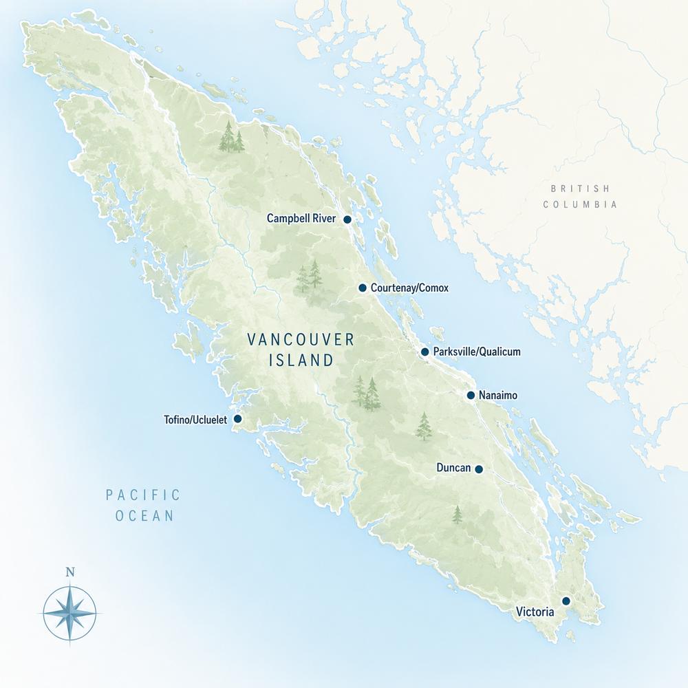
Listings, map and statistics cover oceanfront, lakefront and riverfront properties in Duncan (including Maple Bay and Genoa Bay), Cowichan Bay, Crofton, Westholme, Lake Cowichan, Honeymoon Bay, Youbou, Cobble Hill, Mill Bay, Shawnigan Lake, Saltair and Thetis Island, as listed through the Vancouver Island Real Estate Board. For the whole Island, see Vancouver Island waterfront properties.
Oceanfront on Maple Bay, Genoa Bay, Cowichan Bay, Saltair and Thetis Island, lakefront homes and lots around Cowichan Lake, and riverfront on the Cowichan and Koksilah rivers.
Ocean, Lake and River Frontage in the Cowichan Valley
Browse current Cowichan Valley waterfront homes for sale: oceanfront houses and lots, lakefront homes and cabins, and riverfront properties listed through the Vancouver Island Real Estate Board, from Maple Bay and Genoa Bay to Cowichan Bay, Saltair, Thetis Island and the shores of Cowichan Lake.
The valley offers two very different kinds of waterfront within half an hour of each other. On the east side, sheltered saltwater bays face Salt Spring Island and the islands of Stuart Channel, with marinas, moorage and ferries close at hand. Inland, Cowichan Lake stretches about 30 km west from the town of Lake Cowichan, with year-round homes, summer cabins and recreational lots on its north and south shores, and the Cowichan River runs from the lake to the sea.
Exposure, beach type, moorage, access and the local permit rules set the value of a waterfront property as much as the house does, and this page follows the shoreline community by community.
Cowichan Valley Waterfront Homes for Sale: Ocean, Lake and River
This page shows every listing flagged as waterfront: oceanfront houses, lakefront homes and cabins, riverfront acreage, bare waterfront lots and the occasional waterfront commercial property. Lakefront on Cowichan Lake often makes up a large share of it, along with oceanfront in the Maple Bay area. Homes that look at the water without touching it are on the Cowichan Valley view homes page instead.
Shoreline rules in the valley are set by several governments. The regional district's official community plan for its electoral areas includes development permit areas for riparian protection along streams and lakes, including Cowichan Lake, for marine uplands and foreshore along about 76 km of shoreline in Areas A, C, D, G and H, and for floodplain and slope hazards. North Cowichan and the Town of Lake Cowichan apply their own rules inside their boundaries, and on Thetis Island the Islands Trust sets land use. Before planning a new house, an addition or a seawall, find out which permit areas cover the lot.
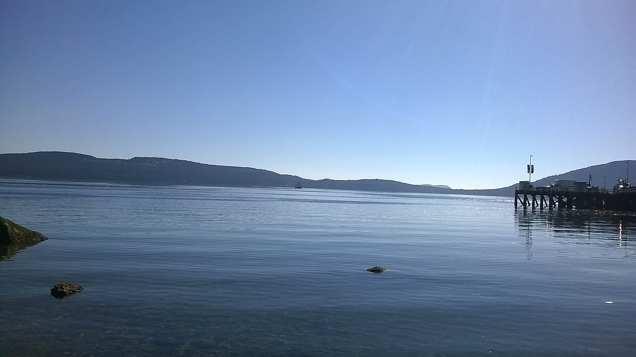
Maple Bay waterfront is the valley's best-known oceanfront. The bay is a natural harbour opening onto Sansum Narrows, the channel between Vancouver Island and Salt Spring Island, and homes around it look across to the island's forested shore. Bird's Eye Cove, at the south end, is the most sheltered water, with a marina and a yacht club, while homes on the outer shore toward the narrows have longer views and more exposure to wind. The narrows are known for salmon fishing, and the bay is a base for sailors and paddlers.
Much of the shore rises quickly to the slopes of Mount Tzouhalem and Maple Mountain, so many homes sit above the water with stairs or paths down to it, and a level walk-on beach is less common than on the sandy east coast farther north. Maple Bay is part of North Cowichan, and Duncan is about ten minutes away.
Genoa Bay, over the shoulder of Mount Tzouhalem, is quieter: a small sheltered bay with a marina and a scattering of waterfront homes along Genoa Bay Road. Several of the valley's higher-priced oceanfront homes are here and around Maple Bay; homes listed at $2 million and over are also on the Cowichan Valley luxury homes page.
Cowichan Bay Waterfront
Cowichan Bay waterfront centres on the village, where homes, shops and marinas share the water side of Cowichan Bay Road and look out over the bay. Private waterfront here is limited and rarely listed, and the head of the bay is the estuary of the Cowichan and Koksilah rivers, an area of mudflats and marsh that draws migrating birds. Cowichan Tribes reserves occupy part of the south shore.
Away from the village, occasional waterfront lots and homes come up on the rural shoreline of Electoral Area D, where the regional district's marine uplands and foreshore permit area covers much of the shore. Low-lying land near the estuary also falls under floodplain rules, so check the flood construction level and permit history of any house close to the water.
Crofton, Saltair and Thetis Island Waterfront
In Crofton, the seawalk, Crofton Beach and Osborne Bay Regional Park keep much of the shore near town public, and private frontage on Osborne Bay comes up only now and then. Homes close to the water here enjoy the ferry traffic to Vesuvius Bay and views of Salt Spring Island rather than long private beaches.
Saltair's waterfront runs along Stuart Channel between Chemainus and Ladysmith, facing Thetis Island across the water. Many are older houses and cottages on larger lots along the roads closest to the shore, and they come up only a few at a time. Saltair is in Electoral Area G, inside the regional district's marine permit area.
Thetis Island has waterfront all the way around, from the sheltered harbours at Preedy Harbour, where the ferry from Chemainus lands, and Telegraph Harbour, with its marinas, to quieter shores such as Clam Bay. Island life runs on the ferry schedule, and wells near the shore can draw in salt water if pumped hard in a dry summer, so have the water tested for both quality and salinity. Docks need provincial approval and must also fit the Thetis Island land use bylaw.
Cowichan Lake Waterfront
Cowichan Lake waterfront is the valley's largest supply of freshwater frontage. Around the town of Lake Cowichan, homes on the lake and on the river where it leaves the lake have town water and sewer, and the shops and schools are a short walk or drive away. A weir at the outlet stores water in the lake through the winter and releases it to the river in the dry months, so summer lake levels are managed rather than natural.
Youbou and the North Shore
Along North Shore Road toward Youbou, waterfront homes face south across the lake, catching sun through the day. The north shore mixes older cottages, newer custom homes and the occasional large waterfront parcel, and the large Youbou Lands area carries its own floodplain and slope permit areas in the regional plan.
Honeymoon Bay and the South Shore
On the south shore, waterfront along South Shore Road through Mesachie Lake and Honeymoon Bay includes year-round homes, cabins and lots in recreational strata communities, some with small cottages or park-model homes. Gordon Bay Provincial Park and the Honeymoon Bay Ecological Reserve keep part of the shore public.
Creek mouths and streamside areas around the lake are protected, and building close to them needs a riparian assessment and a development permit; one Honeymoon Bay lot's permit dispute went as far as the BC Court of Appeal. Rental rules also differ along the lake: the province's short-term rental principal residence requirement applies on the south shore (Electoral Area F), while the Town of Lake Cowichan is exempt and Youbou's Area I is not on the province's list, so check the current rules if you plan to rent a cabin by the night.
Rivers and Small Lakes
Riverfront homes along the Cowichan River, a Canadian Heritage River, range from town lots in Lake Cowichan, where summer tubers float past, to acreage near Skutz Falls, Sahtlam and Glenora beside Cowichan River Provincial Park. The river draws anglers for salmon, steelhead and trout, but riverfront comes with setbacks for fish habitat, and lower stretches near Duncan and Cowichan Station, on both the Cowichan and the Koksilah, lie in mapped floodplain where dikes, flood construction levels and insurance all need checking.
Closer to Duncan, Quamichan Lake has homes and farms along its shore in North Cowichan, and Somenos Lake is bordered largely by marsh and wildlife habitat. North Cowichan runs a lake health program for Quamichan Lake, which has had toxic blue-green algae blooms, so lakefront buyers there should read the municipality's reports on water quality.
South Cowichan Waterfront
Shawnigan Lake and the Mill Bay shore of Saanich Inlet are covered on their own pages, since most of their listings come through the Victoria board: see Shawnigan Lake waterfront homes for sale and Mill Bay waterfront homes for sale. Any listed through the Vancouver Island board also appear in the search above.
Buying Waterfront in the Cowichan Valley
The foreshore below the natural boundary is Crown land, so a dock, buoy or boat ramp needs provincial authorization, and setbacks from the shore limit where you can build or rebuild. On the ocean, check bank stability on the steep Maple Bay and Genoa Bay lots and any foreshore tenures nearby; on the lake and rivers, check riparian permit areas, flood levels and how water and sewage are handled outside the town. The Vancouver Island waterfront page explains these checks in more detail, and the home buying guide sets out how a purchase works.
Cowichan Valley Waterfront Buyer Note
Before buying waterfront here, confirm the legal boundary and any road or public land between the lot and the water, the development permit areas that apply, the flood construction level, any dock or moorage authorization, the water source and septic system, short-term rental rules for cabins, and recent sales on the same stretch of shore.
Search Cowichan Valley Waterfront MLS® Listings
Use the listings and map at the top of this page to compare oceanfront at Maple Bay, Cowichan Bay, Saltair and Thetis Island with lakefront and riverfront around Cowichan Lake, or return to the Cowichan Valley real estate page for all listings. Waterfront asking prices and market times are in the Cowichan Valley Waterfront Market Report.




 All Properties
  Houses
  Condos
  Townhomes
  View Homes
  Luxury Homes
  Acreages & Land
  Pet-Friendly
  55+ Homes
  Manufactured
  Homes with Suites
  Market Report