Currently Available—Current acreage listingsAverage Listing Price—Current acreage averageAverage Bedrooms—Current acreage averageAverage Bathrooms—Current acreage averageAverage Living Area—Interior living areaAverage Price / Ft²—Current acreage average
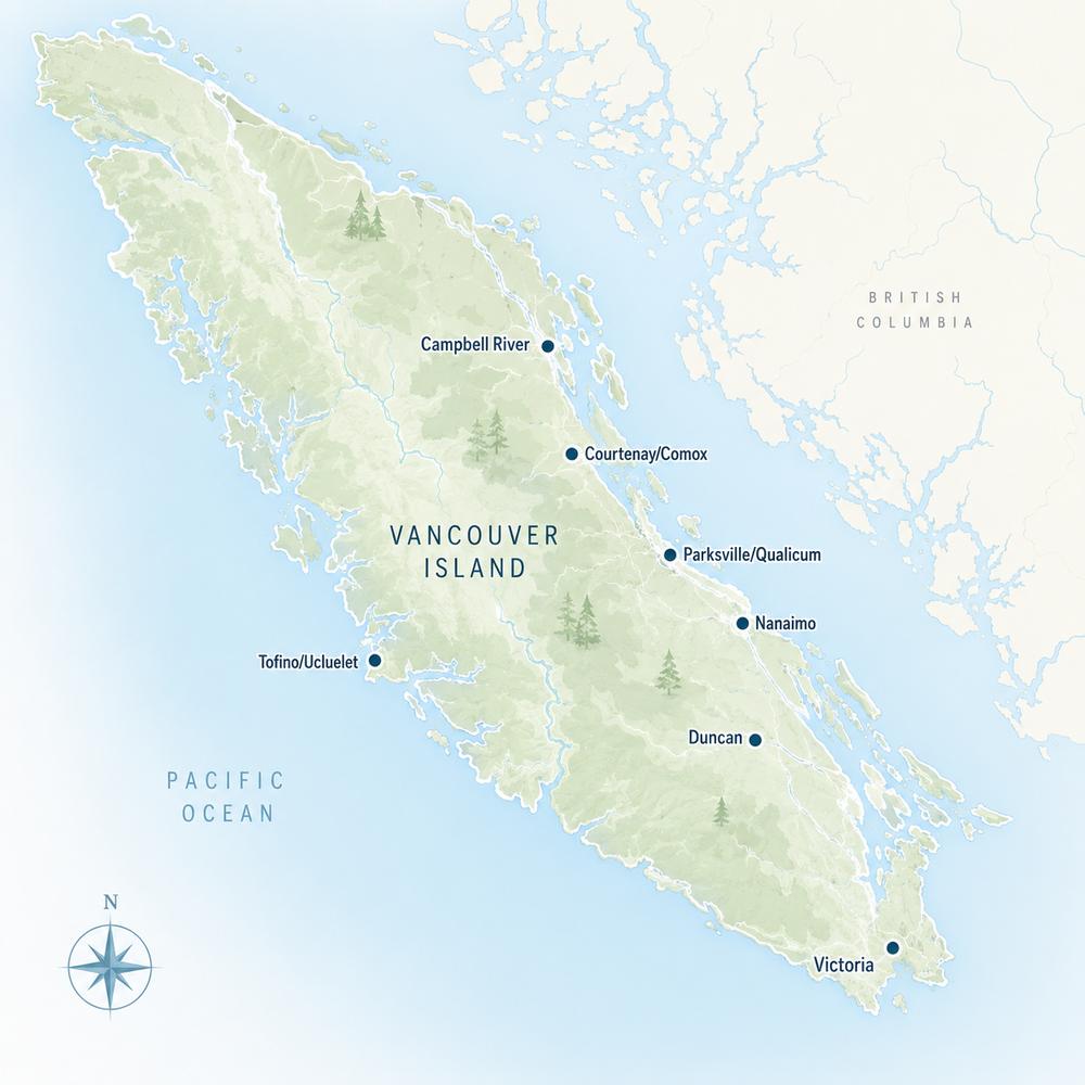
Listings, map and statistics cover properties of one acre or more in Duncan (including rural North Cowichan and regional district land with a Duncan address), Cowichan Bay, Crofton, Westholme, Lake Cowichan, Honeymoon Bay, Youbou, Cobble Hill, Mill Bay, Shawnigan Lake, Saltair and Thetis Island, listed through the Vancouver Island Real Estate Board. For the whole Island, see Vancouver Island acreages and land.
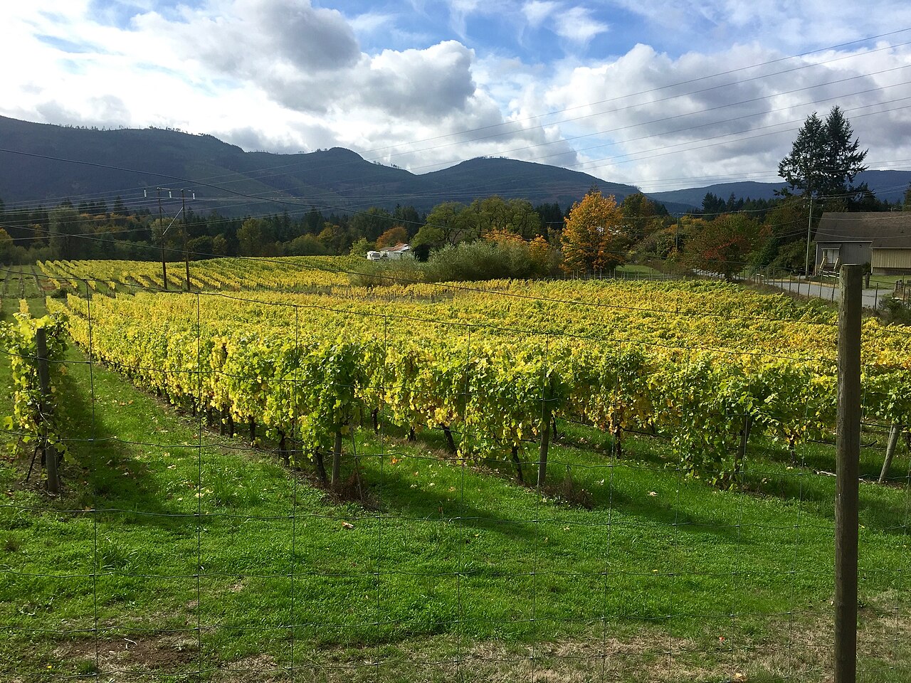
Hobby farms, horse properties, vineyards, forested parcels and building lots on an acre or more, from Westholme and Maple Bay to Glenora, Cowichan Bay, Saltair and the shores of Cowichan Lake.
Browse Cowichan Valley acreages and land for sale: rural homes on one acre or more, hobby farms, horse properties, vineyards, treed lots and bare land, from the Westholme flats and the hills around Duncan to Glenora, Cowichan Station, Cowichan Bay, Saltair, Thetis Island and the forested country around Cowichan Lake.
The valley is one of Vancouver Island’s main farming districts. The 2021 Census of Agriculture counted about 530 farms and roughly 19,000 hectares of farmland in the Cowichan Valley census division, with dairy, poultry, cattle and sheep among the main livestock, and the province recognized the Cowichan Valley as a wine sub-region in 2020.
Rural land here answers to several governments. North Cowichan zones its own farmland and forest, the Cowichan Valley Regional District zones nine rural electoral areas, the Town of Lake Cowichan has its own bylaw, and Thetis Island is zoned by the Islands Trust. The sections below go community by community.
Every listing on this page sits on at least one acre. Most are houses with land, from a rancher on a treed acre to a farmhouse on 40 acres of pasture, but the mix also includes vacant building lots, forested parcels, farms sold as going concerns and some commercial or industrial sites near Duncan that pass the same size test. Filter by property type to see only homes or only land.
A Duncan mailing address covers far more ground than the city. Rural land listed under Duncan may lie in North Cowichan, in Electoral Area E (Cowichan Station, Sahtlam and Glenora) or in Area D around Cowichan Bay, and each answers to different zoning. Look up the jurisdiction on the title or the BC Assessment record before reading any bylaw.
North Cowichan Acreages: Westholme, Somenos and Maple Bay
North Cowichan covers more land than any other municipality on Vancouver Island, and much of it is rural. Its 2001 strategic agricultural plan counted more than 6,250 hectares in the Agricultural Land Reserve, close to a third of the municipality, and nearly two-thirds of the ALR parcels were between about one and 20 acres. That pattern still shapes the market: small farms and acreage homes far outnumber large commercial operations.
Westholme, along the Island Highway in the Chemainus River valley between Duncan and Chemainus, is mostly hobby farms and estates on large acreages, with Mount Sicker on its western edge. Closer to Duncan, farmland spreads around Somenos Lake and Quamichan Lake, and on the east side acreages run up toward Maple Bay and the foot of Mount Tzouhalem.
Next to the Municipal Forest Reserve
North Cowichan owns a Municipal Forest Reserve of more than 5,000 hectares, about a quarter of its land base, spread over Mount Prevost, Mount Sicker, Mount Tzouhalem, Stoney Hill, Mount Richards and Maple Mountain. Acreages that back onto these mountains gain trail access and forest views, though the reserve has been managed for timber as well as recreation.
Two Homes on Rural Land
When North Cowichan brought in the province’s small-scale housing rules in 2024, it noted that most of its rural zones already allowed two dwellings, so little changed outside the urban containment boundary. A second home on ALR land still needs to meet Agricultural Land Commission rules.
Cowichan Bay and Cherry Point Acreages
Electoral Area D wraps around Cowichan Bay, where the Cowichan and Koksilah rivers reach the sea through a broad estuary. On the uplands behind the village, around Cherry Point and along the roads toward Cobble Hill, acreages mix pasture, orchards and vineyards with forested slopes and sea views over Satellite Channel.
The regional district amended the Area D upland zoning in 2024 to allow a detached suite as well as an attached one, including on Agricultural Land Reserve land subject to Commission rules. For a buyer who wants a cottage for family or a farm worker, that can make a Cowichan Bay acreage more flexible than a similar parcel elsewhere.
Glenora, Cowichan Station and Sahtlam Acreages
Electoral Area E, south and west of Duncan, is the heart of the valley’s farmland. Glenora’s fields run along the Cowichan River, Cowichan Station sits among farms near the Koksilah River, and Sahtlam stretches west along the road to Lake Cowichan. Hay land, horse properties, small vineyards and mixed farms are common, along with treed acreages on the rising ground toward the Koksilah and Cowichan watersheds.
Cowichan River Provincial Park has its eastern access at Glenora, with a 20-kilometre footpath upstream to Skutz Falls and the restored 66 Mile Trestle on the Trans Canada Trail. Riverside acreage here is valued for that access, but the lower Cowichan and Koksilah rivers have a long flooding history and an integrated flood management plan, so check floodplain mapping and any flood construction levels before you buy low-lying land.
Bare Land in Area E
Vacant parcels appear regularly in Glenora, Cowichan Station and Sahtlam. Before buying one, confirm the zone and minimum parcel size, ALR status, legal and physical access, a well site with adequate yield, a septic design by an Authorized Person, and the distance to a BC Hydro line.
Lake Cowichan, Youbou and Honeymoon Bay Land
At the head of the Cowichan River, the land around Cowichan Lake is forest country rather than farmland. The Town of Lake Cowichan zones parcels inside its boundary under Zoning Bylaw 1055-2021; outside it, Youbou on the north shore and Meade Creek form Electoral Area I, while Honeymoon Bay and Mesachie Lake on the south shore, with Skutz Falls downriver, belong to Area F.
Acreages here are mostly treed lots, rural homes and recreation properties, some with lake views and a few with frontage. Large blocks of forest-company land line the Highway 18 corridor, where sandy soils limit farming. Near the lake, setbacks under the province’s Riparian Areas Protection Regulation and septic siting decide where a house can go.
Saltair and Thetis Island Acreages
Saltair, Electoral Area G, lines Chemainus Road between Chemainus and Ladysmith. Its acreages sit on the slope above Stuart Channel, many with sea views toward Thetis and Penelakut islands, and Area G’s 2024 zoning amendment allows a detached suite, including on ALR land. Rural land around Ladysmith, in Diamond and North Oyster (Area H), and around Chemainus is covered on the Nanaimo and Parksville acreages and land page.
Thetis Island is reached by BC Ferries from Chemainus, and its land use bylaw comes from the Thetis Island Local Trust Committee of the Islands Trust, not the regional district. Island acreage relies on its own water supply, so well records, storage and septic capacity deserve the first look.
South Cowichan Acreages
Cobble Hill (Area C), Mill Bay (Area A) and Shawnigan Lake (Area B) hold some of the region’s best-known small farms and treed acreages, from the fields around Cobble Hill village to forested lots in the Shawnigan Lake watershed. Most of these properties are listed through the Victoria board; see Cobble Hill acreages for sale, Mill Bay acreages and land and Shawnigan Lake acreages and land.
Zoning, ALR and Taxes on Cowichan Rural Land
Regional District Plans and Zoning
The CVRD’s nine electoral areas share one official community plan, Bylaw 4373, adopted in 2025 with its own agricultural land maps. Zoning has long been split among separate electoral-area bylaws, which the regional district is working to consolidate into a single comprehensive zoning bylaw, so ask the CVRD which zoning applies to a parcel when you are ready to write an offer.
The Agricultural Land Reserve
ALR land in North Cowichan and the electoral areas is overseen by the Provincial Agricultural Land Commission, which limits residence size, additional dwellings, subdivision and non-farm uses. The Vancouver Island acreages and land page explains those limits, farm classification for property tax and the water and septic checks in more depth.
Speculation and Foreign-Buyer Taxes
Rural land in North Cowichan, Duncan and the Town of Lake Cowichan is inside the speculation and vacancy tax area; acreage in the regional district’s electoral areas, including Glenora, Cowichan Bay, Youbou, Honeymoon Bay, Saltair and Thetis Island, is not. The 20% additional property transfer tax for foreign buyers does not apply anywhere in the Cowichan Valley Regional District.
Checking a Cowichan Acreage
On any parcel, confirm the governing bylaw, ALR status, well yield and water quality, the septic record with Island Health, legal access, and floodplain or streamside limits along the Cowichan, Koksilah and Chemainus rivers. Waterfront acreage needs the shoreline checks on the Cowichan Valley waterfront page, a house on a small lot may suit you better from the Cowichan Valley houses page, and the steps of a purchase are on the buying a home page.
Cowichan Valley Acreage Buyer Note
Before writing an offer on rural land in the valley, find out whether it is zoned by North Cowichan, the CVRD, the Town of Lake Cowichan or the Islands Trust, then check the ALR map, the floodplain mapping for the Cowichan and Koksilah rivers, the well and septic records, and whether the speculation and vacancy tax reaches the parcel.
Search Cowichan Valley Acreage and Land MLS® Listings
Use the listings and map at the top of this page to compare Westholme hobby farms, Glenora and Cowichan Station farmland, Cowichan Bay vineyard country, forested lots around Cowichan Lake and acreage in Saltair and on Thetis Island. For every property type in the valley, return to the Cowichan Valley real estate page, and for asking prices and market times see the Cowichan Valley Acreages & Land Market Report.




 All Properties
  Houses
  Condos
  Townhomes
  Waterfront
  View Homes
  Luxury Homes
  Pet-Friendly
  55+ Homes
  Manufactured
  Homes with Suites
  Market Report